Stories, people and places hiding in plain sight, geo-tagged, shared and alive. LOKA is a living map of the world, built by everyone.
LOKA turns any place into a digital twin where every marker is a story, a species, a lesson, a hazard or a call to action, tied to a real spot on the ground. Four simple moves:
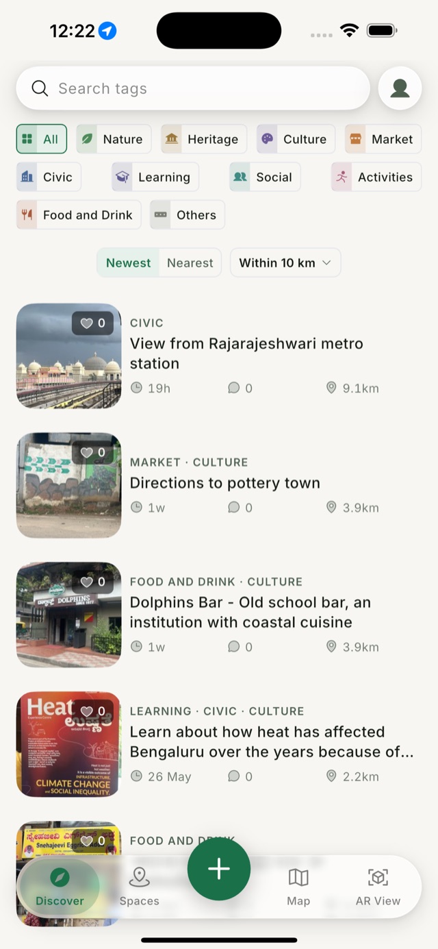
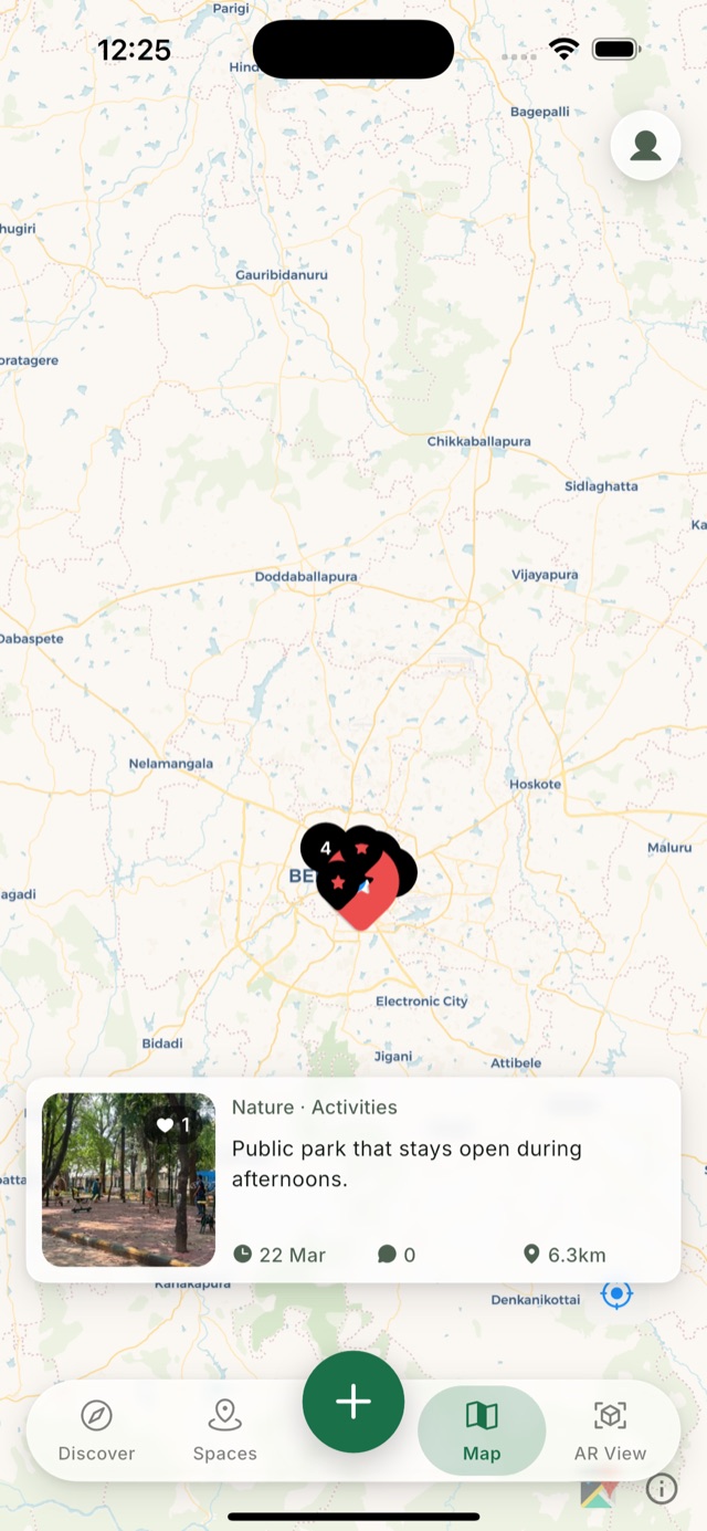
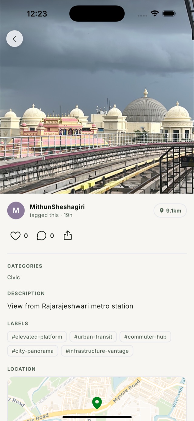
LOKA is a live iOS app. Browse what people have tagged nearby, see it all on the map, open the full story, or point your camera and read a place in augmented reality.
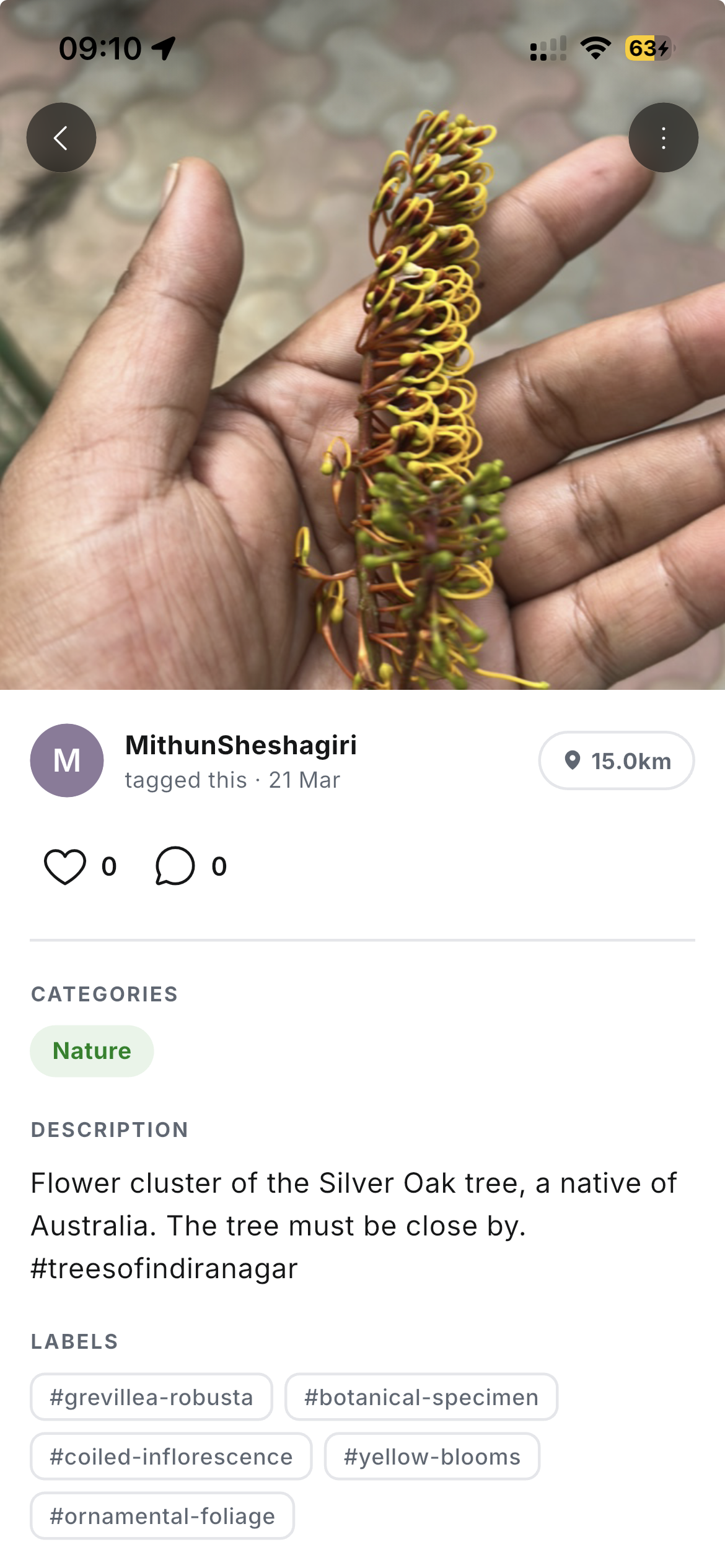
A resident photographs a roadside bloom and adds one line. LOKA identifies the species and turns the sighting into a structured, searchable record.
From the LOKA dashboard at loka.place, create a Space around a set of tags, decide exactly who can see and edit it, and keep it as open or as private as the work needs.
Assign read and write access per person, so a Space has clear authors and clear audiences.
Keep a Space off the public map entirely, visible only to the people you invite.
Greater control over what gets generated and shared within the Space, tag by tag.
The places worth mapping often have the weakest connectivity. LOKA's offline mode caches content, images and maps on the device, so people can keep exploring and contributing with limited or no network, and sync when they are back in range.
Once a place is mapped by the people who know it, the same layer serves very different needs at once.
Rangers and visitors log species and habitats until a park has a living account of what lives where.
Pin oral histories, festivals, temples and crafts to the exact streets they belong to.
Build eco-tourism routes where every stop carries a story, not just a location.
Residents map flooding spots, broken lights and unsafe crossings for the ward to act on.
Sellers, farmers and makers put their produce and crafts where people can actually find them.
Classes build a living map of local flora, water and history as part of how they learn.
With permissioned Spaces and full offline capture, LOKA carries teams doing serious fieldwork, not just open exploration.
A private Space for structured surveys, captured offline in remote sites and synced on return.
Map assets, patrols and habitats across a park in one controlled, permissioned layer.
NGOs track interventions across villages, keeping sensitive data inside a private Space.
Cached maps and offline records keep teams oriented in low-connectivity disaster zones.
Map a campus or factory for internal navigation and place-anchored staff orientation.
Many partners contribute to one permissioned map of a programme or region.